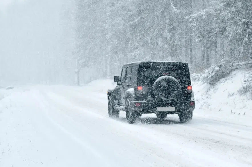
Saskatchewan is bracing for some more messy winter weather this weekend, with snow, rain and high winds expected across much of the province.
According to Justin Shelley, a meteorologist with Environment and Climate Change Canada, an unsettled weather pattern will move from Alberta across Saskatchewan starting on Saturday night. Shelley said the heaviest snowfall is expected along the Yellowhead Highway, with the majority of the snow expected to fall on Sunday.
Read More:
- Photos: Snow blankets Saskatchewan after weekend storm
- When winter bites: Preventing frostbite in a Saskatchewan cold snap
- Historic 120-year-old barn loses roof in ‘crazy’ wind storm near Pangman
- Mission Ridge Winter Park opens this weekend
“Pretty much everywhere from Lloydminster southeast through the Yorkton region — including North Battleford, Saskatoon, Humboldt — those are the areas where we’re expecting the heaviest snowfall to occur,” Shelley explained.
“Everywhere south of the Yellowhead is likely to see more mixed precipitation, but still likely to see snowfall in the amounts of two to five centimetres.”
But while the precipitation may make things tricky for drivers, Shelley said visibility shouldn’t be greatly affected except in some open areas in the northern part of the province.
Regina can expect about five centimetres of snow over the weekend, the meteorologist said, though the area can also expect some rain and potentially freezing rain before the temperatures drop and turn the precipitation to snow.
“For Regina specifically it looks like precipitation is going to start late Saturday evening into the overnight hours, and — based on the temperatures and the way the system’s moving — it is likely to be some sort of rain-snow mix, if not freezing rain potential as well, so a bit of a messy start to the day on Sunday,” Shelley said.
“By mid-morning a lot of that mixed precipitation will move off to the east, and by the evening hours of Sunday we’ll start to see some of the colder air wrapped in around the system that should transition all of the precipitation to snow and along with it bring some gusty winds.”
Meanwhile, Saskatoon and the surrounding areas can expect between 10 and 15 centimetres of snow to fall by Monday morning.
“Pretty much everywhere from Lloydminster southeast through the Yorkton region — including North Battleford, Saskatoon, Humboldt — those are the areas where we’re expecting the heaviest snowfall to occur,” Shelley explained.
“The good news for the region is that it’s a relatively quick-moving system, so it’s sort of in first thing Sunday and out by Monday morning.”
Shelley said the heavy snowfall seen so far this season in Saskatchewan is likely to continue throughout the winter.
“It looks like winter has certainly dug in across the prairies,” Shelley said.
“We will likely see more systems like this throughout the winter months, and as a result more snowfall accumulation as well, which is in pretty stark contrast to what we saw over the previous fall and winter season.”
Ahead of the storm, the meteorologist advised residents to keep a close eye on local forecasts and watch out for alerts issued by Environment Canada.
“Weather alerts will likely be issued at some point between now and Saturday night for this system,” Shelley said.
–with files from 980 CJME’s Abby Zieverink
Read More:


