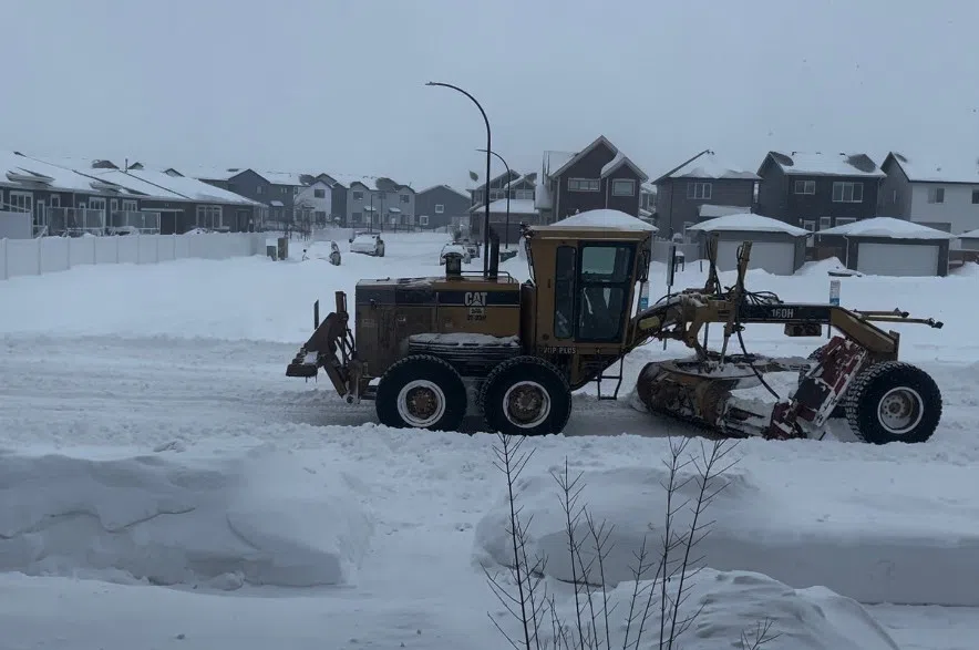
Storm warnings around the province have ended as Saskatchewan starts digging out from a blizzard that stalled travel and kept most people indoors on Sunday.
There is no confirmation about how much snow fell in Saskatchewan over the weekend, but Environment Canada will provide those details later on Monday.
Meteorologist Eric Dykes had some predictions based on reports his office has received from weather stations and posts on X, formerly Twitter.
“What we can discern is that 30 to 40-plus centimetres of snow fell around the Saskatoon area by all accounts. We look into that more as the day progresses,” Dykes said.
And while the system has officially moved out of the province, some lingering effects remain on Monday.
“I would say the areas that are going to see snow and blowing snow through the morning are Melfort, Tisdale, Kamsack, and up to Hudson Bay, east-central areas mostly,” Dykes predicted.
Lots of cars are snowed in along 8th street
Some parking lots along 8th street especially at gas stations haven’t been cleared
The street itself is clear, but take it easy it’s slippery out there! @CKOMNews pic.twitter.com/iEQ1BzL53A
— Mia Holowaychuk (@miaholoway) March 4, 2024
And true to form in Saskatchewan, there is no letup from the changing weather.
“You will see skies clear as the day progresses, and as a result, a ridge of high pressure will come in behind this system and clear up the skies even more so Monday night temperatures will dip, and you will see wind chills drop into the -30 or -40 range for Tuesday morning.
“There could be some extreme cold warnings that will be issued, but the good news is it will be short-lived. There is a warmup coming as an area of high pressure later in the week moves by, and on the backside of it will bring in some warmer temperatures for the weekend,” Dykes said hopefully.
David Phillips, senior climatologist with Environment Canada, likens the snowfall amount to the 2007 blizzard that stalled the province and left many stranded. However, he noted the impact of this year’s storm wasn’t as intense.
“The good thing about these late kind of winter storms is that they hit and they don’t last that long,” he said.
Phillips says a warmer than normal spring is ahead, and there should be melting temperatures by the weekend.
Saskatoon deploys emergency response plan
The city is encouraging residents to stay home Monday to allow crews to clear roads and assist emergency services, priorities of its emergency response plan.
By midnight on Monday, the city aims to have all Priority 1 streets plowed, which include freeways, major arterials and bridges. Priority 2 streets, like Clarence and Miller avenues, are set to be cleared by noon on Tuesday.
The city plans to send plows to residential streets during the night shift Thursday. At this time, no decision has been made on removing snow from residential neighbourhoods.
“The plan is to push snow into piles in parking areas along the driving lanes and we’ll assess the need for snow removal in the coming days,” said roadways manager Goran Saric during a media conference Monday morning.
Once residential streets are clear, crews will attend industrial areas, followed by blocked alleys.
Regina launches ‘Storm Mode’
Plows are clearing the busiest roads in Regina, while high-risk intersections receive ice control from a fleet of 50 pieces of equipment.
A 24-hour snow route was declared Sunday to ensure emergency vehicles can navigate city streets.
The city will monitor “road sections prone to blowing snow.” It asks drivers to allow for extra time on the roads today.
More to come.


