Plunging temperatures and high winds are set to follow close behind the wintery system that drifted through the province.
Rose Carlsen, a meteorologist with Environment and Climate Change Canada, said the worst of the storm has passed over most of the province.
“We are still expecting lighter snow throughout the rest of the day,” said Carlsen. “Just kind of the lingering, hangback snow that we see behind these big systems.”
Many of the snowfall warnings have begun to lift in central Saskatchewan after being issued by Environment Canada on Tuesday.
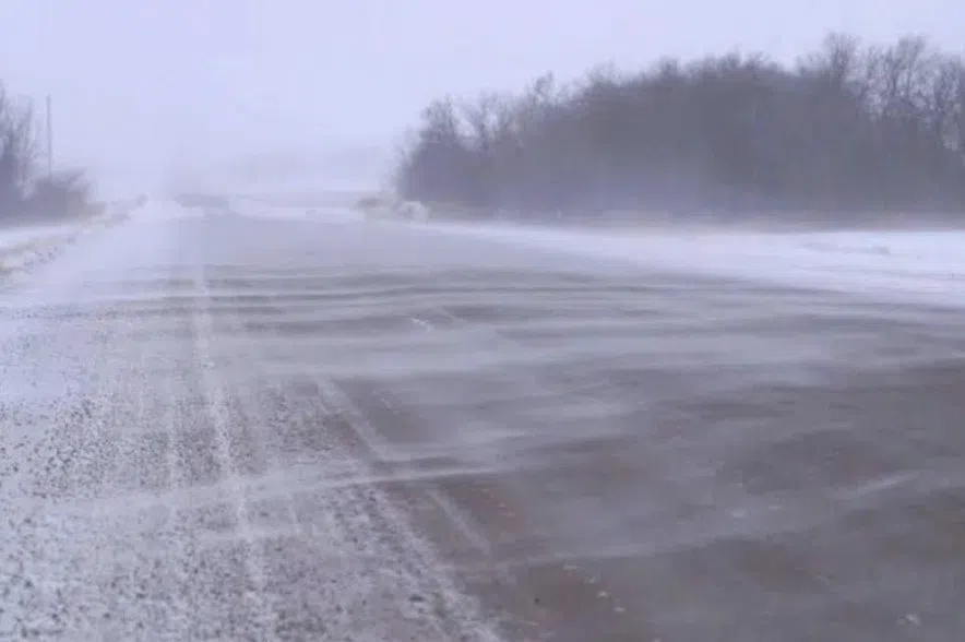
Carlsen said high winds up to 60 km/h are following the storm, which could lead to swirling snow and poor visibility on the highways.
“In behind (the storm) is where we are going to start getting the blast of arctic air everyone has been talking about for the past couple of days,” said Carlsen.
Temperatures have already started to plunge into the -20s and -30s early on Wednesday morning.
The Alberta Clipper started at the west border of the province stretching from Prince Albert to Weyburn. As of Wednesday morning, the storm is continuing to move east out of the province.
Carlsen said the wintery system brought through a good “swathe of snow” ranging anywhere from 8 to 20 centimetres or 3 to 7.5 inches.
Saskatoon recorded between 10 to 15 cm or 4.5 to 6 inches of snow overnight. Regina was clipped by the bottom of the storm, and only recorded a few cm.


