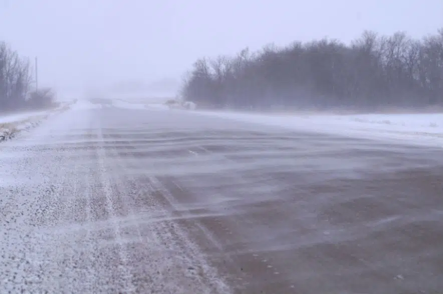
A special weather statement is in place for much of southern Saskatchewan.
According to an alert issued Sunday by Environment Canada, “a significant spring storm” is expected to hit areas in southern Saskatchewan and southwestern Manitoba on Tuesday night. It’s expected to last into Wednesday and possibly Thursday.
“A large-scale trough of low pressure extending northward from a Colorado Low in the northern plains of the United States will give a prolonged period of precipitation to the southern Prairies,” the statement said. “Total snowfall amounts will likely be in the 10 to 20(-centimetre) range by the time the system departs late week.”
The weather service said the precipitation could exacerbate the flooding some regions have been experiencing in the past week.
The statement said the highest confidence for heavy precipitation ranges for areas from Regina to the Manitoba Parklands, while the weather service isn’t sure how much snow will fall west of Regina.
Environment Canada said the snow likely be mixed with rain, with what the alert called “multiple waves of precipitation” that could affect the predictions for total accumulation.
“In general, various model guidance remains muddled, with little in the way of a consensus of areas affected and total precipitation amounts,” the alert said.
The expectation is that the precipitation will begin Tuesday, with some areas getting some rain or snow in the afternoon and others getting the precipitation overnight.
“In addition to the snow, moderate to strong easterly winds gusting as high as 60 (kilometres per hour) will lead to poor travel conditions, particularly on Wednesday,” said the statement, which added that snowfall or winter storm watches and warnings likely will issued as the storm approaches.
More information can be found on the Environment Canada alerts webpage.


