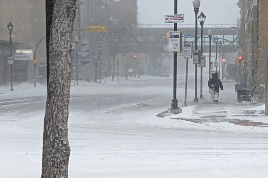
Forget the special weather statements — Environment Canada has issued full-blown warnings for southern Saskatchewan.
Just after 3:30 p.m. Thursday, the weather service took down the special weather statements it had issued earlier and put out blizzard and snowfall warnings for areas across the southern part of the province.
“Being upgraded to go from a special weather statement to a warning category does increase the severity of it, letting people know that it is coming and to prepare for that,” Environment Canada meteorologist Terri Lang said. “Especially if you have travel plans, you may want to rethink those.”
Regions around Carlyle, Oxbow, Carnduff, Estevan and Weyburn were under blizzard warnings, with Environment Canada saying strong winds and “significant falling snow” would hit late Friday.
“Conditions will deteriorate rapidly in the early-evening hours as snow begins to accumulate,” the warning said. “Southeasterly winds gusting to 70 km/h will coincide with the organized snowfall throughout the same period.
“Widespread poor visibilities are expected throughout Friday night and whiteout conditions will be possible at times. Up to 25 (centimetres) of snow is forecast to fall Friday evening into Saturday morning.”
The warning said the blizzard would let up mid-Saturday morning as the winds drop.
Meanwhile, snowfall warnings covered areas around Regina, Moose Jaw, Assiniboia, Fort Qu’Appelle, Indian Head, Gull Lake, Moosomin, Kipling, Shaunavon and Swift Current.
Environment Canada said snowfall with amounts of 10 to 20 centimetres were expected, with heavy snow Friday afternoon through Saturday afternoon.
“A developing low-pressure system tracking along the international border will spread accumulating snow into southwestern Saskatchewan on Friday afternoon, extending eastward to the Manitoba border by late Friday evening,” the warning said.
“Moderate easterly winds with this disturbance will produce areas of blowing snow on Friday night, which could result in deteriorating travel conditions.”
The alert said the snowfall would taper off Saturday afternoon.
Lang said Environment Canada didn’t think the Regina region would be included in a blizzard warning.
“We have a very strict definition of what a blizzard is and that has to do with reduced visibility, blowing snow, wind speed and duration,” she said. “It doesn’t look like Regina will technically be in the blizzard area, but certainly the southeast corner of the province will be.”
More information is available on the Environment Canada alerts page.


