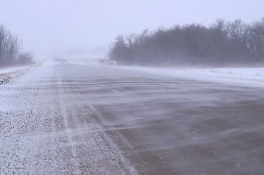
With parts of Saskatchewan barely recovered from the last storm, another blast of winter is expected to hit the province this weekend.
Environment Canada issued winter storm watches and special weather statements Friday morning with an Alberta clipper tracking to hit central areas of the province Saturday through Sunday.
Snowfall totals of 10 to 20 centimetres may fall in areas spanning North Battleford to Prince Albert, Martensville, Saskatoon and Melfort.
Winter storm watches are issued when multiple types of severe winter weather are expected to occur together.
Meteorologist Keane Kokolsky says strong winds will accompany the falling snow in this system.
“The winds are going to range from 50 to 80 kilometres per hour. There is the potential for the winds to be even higher at times,” Kokolsky said.
“We’re likely going to see a reduction of visibility with anyone travelling on highways or the communities the system impacts.”
Freezing rain is also possible Saturday along the Yellowhead Highway, the weather agency warned.
Kokolsky has more bad news for people who are hoping for a return to fall conditions.
“Once this system is done, early into next week, another system does form,” he said.
“It looks like more accumulations of snow for parts of Saskatchewan. Quick break, more snow, another quick break, then more snow once again.”
The storm will not only leave people with snow to shovel but cold temperatures.
For now, the weather office says Regina won’t be hit as badly as central Saskatchewan, but it does note Regina will see some rain on Saturday accompanied by high winds with gusts between 60 and 80 km/h.
That rain on Saturday afternoon will eventually turn into snow throughout the evening and overnight. Sunday will also see more snow hit the ground.
Environment Canada didn’t say just how much snow could fall in the Queen City.
Daytime highs will be well below the freezing mark leading up to Remembrance Day in Saskatoon and Regina.


