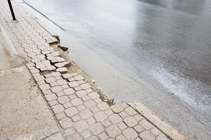
It’s a soggy start to the weekend for southeast Saskatchewan, and the Water Security Agency warns that could pose problems in the days ahead.
Rainfall warnings continued Friday for a number of areas in the province, including around Regina, Estevan, Weyburn, Lumsden, Fort Qu’Appelle, Humboldt, Moosomin, Melville, Kamsack and Yorkton. As well, a special weather statement was issued for the Hudson Bay area.
According to the Water Security Agency, some areas in the southeast could receive as much as 90 millimetres — and that could result in increasing flows and possible flood levels along some creeks and rivers.
The agency said flood levels were possible on Pipestone Creek and the Antler River and on tributaries within the Lower Red Deer River Basin near Hudson Bay, including the Fir and Overflowing rivers.
As well, the agency said a lot of rain could cause the Assiniboine River to spill over its banks, resulting in localized flooding.
The WSA said areas in the Poplar River Basin near Coronach, the Old Wives Lake Basin near Assiniboia and around Avonlea Creek were expected to get the most rain. However, the agency said it didn’t expect “significant impacts” to water flows and levels in those areas.
Environment Canada’s Brad Vrolijk said most areas under the rainfall warning will receive between 30 and 60 mm of rain.
“We’re at the midway point of this event so far,” Vrolijk said Friday morning. “It will be a little later this afternoon when we see the rain taper off in the south, closer to the U.S. border, and then it will gradually taper off northwards into the evening.”
The already-waterlogged southeast corner has been the hardest hit. In Estevan, Dean Semen’s gauge showed more than 50 mm had fallen just after 5 a.m.
“I wouldn’t call it a drizzle, but it’s not a downpour,” he said. “It’s just a steady shot of water.”
The band of heavy rain is situated along the Saskatchewan-Manitoba border, stretching as far north as Hudson Bay.
“Amounts are a bit lower to the north-northeast for now because they are just getting into the main rain,” Vrolijk said. “Amounts will climb through the day and we’ll probably see another between 15 and 30 millimetres across the southeastern corner.”
The storm is just the latest in a long line of weather events to hit the southeast, which dealt with severe winter storms in the latter part of April.
Vrolijk said after this system, the southeast corner is in store for a break from showery weather.
“Behind this system, it does look like we’re going to move into a cooler pattern and see temperatures a little lower than normal. The upside to that it’s a much more stable pattern,” Vrolijk said.
“While there will be an occasional chance for some showers over the coming week after this, it does look quite dry overall.”


