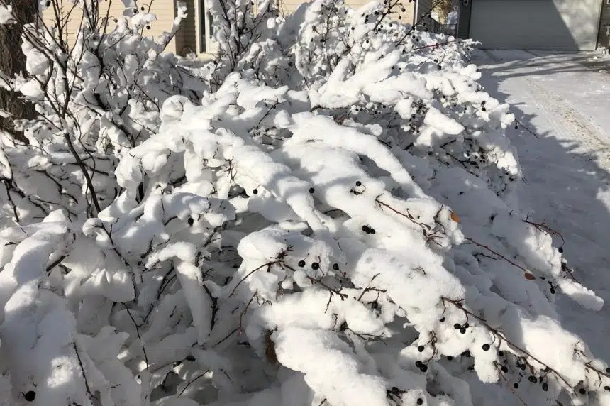
More snow is coming to Saskatchewan on Tuesday and a more significant system could be in the province by the weekend, according to Environment Canada.
Meteorologist Keane Kokolsky says parts of central and northern Saskatchewan could see up to 15 centimetres of snow throughout the day along with winds hovering around 70 kilometres per hour.
“Unfortunately, the winter isn’t really done with us yet,” Kokolsky said. “We have an Alberta Clipper developing over southern Alberta. It’s going to be tracking eastward. Today, over parts of Saskatchewan, you’re going to have kind of a wintry mix of precipitation.
“You can expect anything from rain over the southern areas with potentially the risk of an isolated thunderstorm over the southwest.”
Kokolsky doesn’t anticipate the remnants of this system lasting too long, saying it will most likely be wet and slushy with a lot of the snow melting with warmer temperatures.
Despite this Clipper moving in, Environment Canada is keeping its focus on the weekend as another massive system is looming in the distance.
“There is another big Colorado low that is developing later this week and into this weekend,” Kokolsky said. “It looks quite significant at this time, but it’s a little bit out of our forecast range so it’s something to keep an eye on. But it does look like the southeastern part of Saskatchewan may get a lot more heavy snowfall.”
As for precipitation totals that could come this weekend, he says it’s too early to tell.
“Some models have the system further north, some have a heavier accumulations of snow, mixed precipitation (and) some have it completely missing us,” Kokolsky said. “Essentially, we’re just going to continue to monitor this.”


