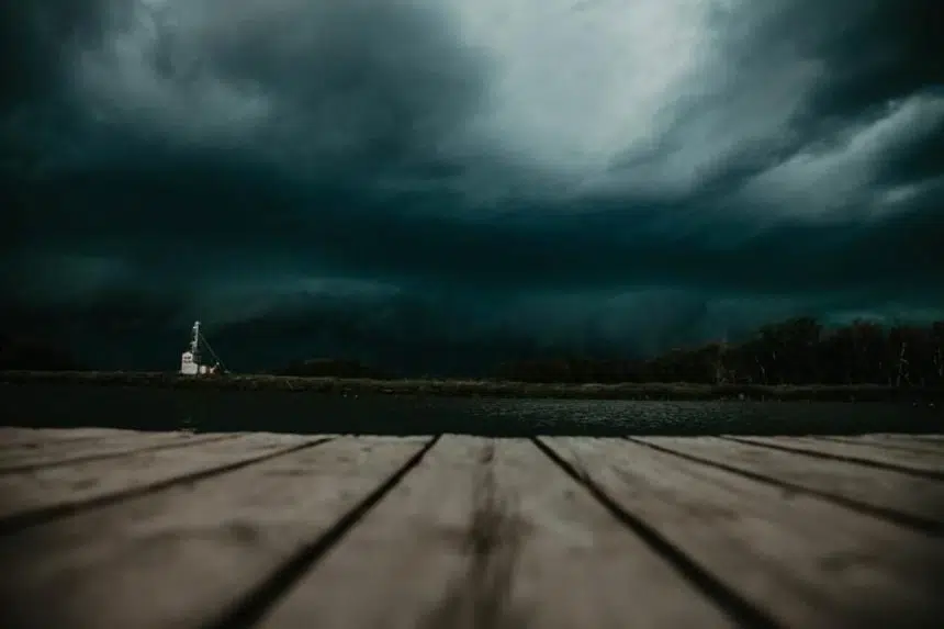
Severe thunderstorms could be on the way for the southeast corner of Saskatchewan on Monday.
Environment Canada is expecting a major storm system from Manitoba to move west and cause hail, rain and strong winds.
There’s even a chance of a tornado touching down near the U.S. border.
Brad Vrolijk, a lead forecaster with Environment Canada, said the storms should start late in the afternoon and continue through the evening.
“It will be mainly a north-south line of thunderstorms. It will begin as individual storms, then grow into a larger line of thunderstorms,” he explained.
He expects storm watches and warnings to develop for the Yorkton, Moosomin, Carlyle and Estevan areas by Monday afternoon. Later, they could extend westward to Regina and Moose Jaw.
“It won’t be really widespread, but the areas that are hardest hit by this line could see pretty substantial rainfall amounts in a short period of time,” he said.
Based on Manitoba’s storms from the weekend, Vrolijk is estimating some areas could see between 100 and 150 millimetres of rain. That’s between four and six inches.
However, the possible rain isn’t his biggest worry.
“The main threat from these storms would be the potential for damaging wind and hail,” he explained.
“Anyone in southeast Saskatchewan should stay aware of any watches and alerts issued later in the day. Be prepared just in case there are severe thunderstorms in your area.”


