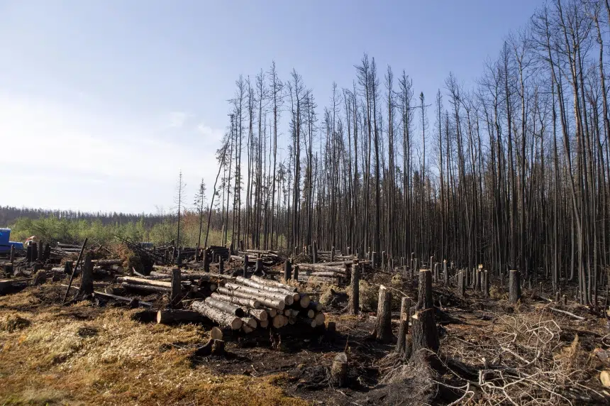
As of Tuesday, 647 wildfires have burned in Saskatchewan so far this year leaving a large portion of the northern part of the province charred.
There are still 95 fires burning as of Tuesday morning, but evacuation orders continue to be lifted and people are heading home.
Some of the fires that were burning in the north were massive, including the Egg fire which had been threatening La Ronge. By July 10, the Egg fire merged with the Eli fire making it 950 square kilometres or five and a half times the size of Saskatoon.
Throughout the wildfire operations, the province does its best to track where the fires are, and how big they are. The map below shows three of the fire-activity maps, and gives an idea of just how big some of the wildfires became.

The maps are based on the information the Ministry of Environment had on that particular day. Changes to the size of the fires didn’t always mean the fires got smaller, it sometimes meant that more-complete information had become available.
reginanews@rawlco.com
Follow on Twitter: @CJMENews


