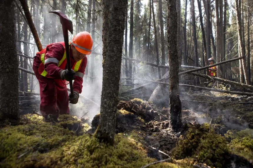
The kind of rain that can ruin your weekend camping trip is on the way for parts of fire ravaged Saskatchewan which are desperate for moisture.
“That’s quite a change from what we’ve seen for most of the summer,” Terri Lang, Environment Canada meteorologist said.
A slow-moving low pressure system anchoring itself over Alberta will move into Saskatchewan early Friday morning.
Environment Canada issued a special weather statement Thursday morning for the approaching rain.
“Fifty millimetres is not out of the ordinary, but this year, just because how dry it’s been, this is out of the ordinary,” Lang said.
Between 25 to 40 millimetres is expected, but some pockets could get up to 60 millimetres – or just over two inches.
A pocket north of Meadow Lake, south of Buffalo Narrows and east to Prince Albert National Park will see the largest totals, while La Ronge can expect about half that amount.
“It’s going to start out as showers and thundershowers and than spread out into a general area of rain,” Lang said.
The rain will begin overnight over western areas then spread eastward on Friday before clearing up by Saturday.
Those fighting the fires are watching the weather closely.
The north has seen sprinkles of moisture, but not nearly enough to slow down the fires this summer.
“Major turning point from where we have been if we get this weather that comes through. It’s certainly going to help,” Daryl Jessop with wildfire management said.
bbosker@rawlco.com
Follow on Twitter @brentbosker

Soggy change in weather headed to northern fires
By CKOM News
Jul 16, 2015 | 12:40 PM
Discover more on CKOM.com
MoreNOW TRENDING
OPINION


Murray Wood says the Liberal campaign is making some big claims about Mark Carney, but there are some important truths t...

Listen to daily commentary from provincial news director Sarah Mills
Sarah Mills shares her thoughts on the all-female star-studded space tourism trip that Amazon's Jeff Bezos put together ...
LATEST WEATHER
TODAY ON EVAN BRAY


The Evan Bray Show for Thursday, April 17
Evan dives into Poilievre's stance on the notwithstanding clause with law professor Dwight Newman, we hear from our elec...


