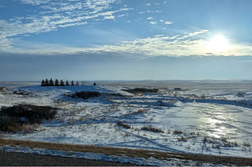
Spring runoff is well underway in parts of Saskatchewan, but warm daytime temperatures that drop significantly overnight have resulted in a slow melt so far, according to Saskatchewan’s Water Security Agency.
The agency updated its runoff forecast with the latest predictions for different areas of the province earlier this week.
Read More:
- Water Security Agency sees improvement, runoff report still mixed
- Extra snow welcomed by Sask. farmers ahead of growing season
- Spring arrives at the Saskatoon Forestry Farm Park & Zoo
March brought 10-20 centimetres of snow to areas stretching from Lloydminster through Saskatoon and towards Yorkton, the agency said, but that’s not expected to significantly increase this spring’s runoff.
“For most of the snow-covered areas in southern and central Saskatchewan, much of the runoff has seeped into the soil and with below normal precipitation for the past month, runoff is expected to be near normal,” the agency said in a statement.
“In the area between Regina and Saskatoon, heavier snow pack remains with above normal runoff expected.”
The forecast for northern Saskatchewan remains largely unchanged, with the agency predicting a below-normal runoff for areas around the Churchill River Basin and further north.
The eastern part of the basin near Sandy Bay and Flin Flon can expect near-normal runoff, the agency added.
But while the forecast is a good indicator of what’s ahead this season, the Water Security Agency noted that things can change quickly if Saskatchewan sees lots of precipitation this spring, or if temperatures rise rapidly.
“Current reservoir levels at Lake Diefenbaker are more than one metre higher than average for this time of year as a result of the limited draw-down and early runoff in the southern prairie region,” the agency added.
The full forecast can be found on the agency’s website.
Read More:


