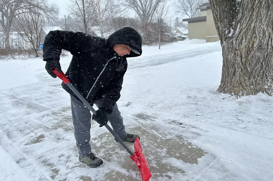
Much of Saskatchewan is gearing up for its first real taste of winter.
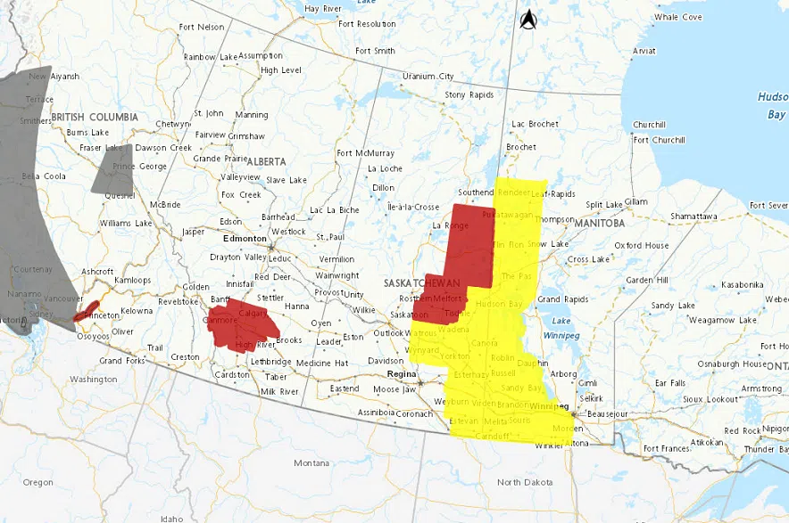
A winter storm warning from Environment Canada was in effect on Monday morning for areas just east of Prince Albert. Hazardous winter conditions, with heavy snow, freezing rain, and gusty winds are expected in the areas around Nipawin, Melfort, and Tisdale.
READ MORE:
- Sask. winter announces arrival with freezing drizzle, snow
- Fire-stricken Jasper braces for winter as it adapts to new normal
- Warming shelters prepare for a cold Saskatchewan winter
Around 20 to 30 centimetres of snow – 8 to 11 inches – is expected to fall by Wednesday morning.
A snowfall warning was also in effect for areas east of LaRonge, where the same 20 to 30 centimetres of snow is expected to fall by Wednesday morning.
Meanwhile, a winter storm watch went into effect for the areas around Humboldt, Wynyard, Watrous, Hudson Bay, Yorkton, Melville, Carlyle, and Estevan, stretching to the Manitoba Border.
Rain, freezing rain, snow, and strong winds are also expected to start on Monday evening and continue through until Wednesday.

Much of Saskatchewan was under winter storm warnings and watches on Monday morning. (Environment Canada/Screenshot)
Environment Canada also said said very strong northwest winds are expected to develop as the system intensifies, with gusts to 80 km/h, and blizzard conditions possible in some areas.
Meteorologist Kyle McAulay said there is a low-pressure system coming up from the United States, starting with rain coming in southeast Saskatchewan on Monday.
“As the system keeps moving in, it’s going to be bringing in some cool air around it, and by overnight a lot of the rain is going to be transitioning to snow as temperatures fall,” he said.
“The winds will be picking up too, especially in the southeast part of the province. With the strong winds and falling snow, we can expect to see some reduced visibility, especially during the day Tuesday.”
McAulay explained that the snow will likely stick around for the season.
“Temperatures are dropping, and they look like they stay in their minuses for quite some time, so it looks like there’s a pretty good chance that this snow will be here for a while,” the meteorologist said.
Regina and Saskatoon weren’t covered by the winter storm watches or warnings on Monday, but McAulay said the province’s largest cities could get a taste of the storm.
“Depending on how this low-pressure system tracks, if it moves a little bit further to the west, then they may be added in. But so far this time, it looks like they’re just going to be getting just a few centimetres of snow, mainly on Tuesday,” he explained.
“But they will also see some gusty winds, probably some blowing snow.”
Conditions are expected to improve by Wednesday morning.
The latest information on the winter storm warnings can be found on Environment Canada’s website.


