A late-season snowfall is expected to continue until Friday in much of Saskatchewan, according to Environment Canada.
According to the weather service, Saskatoon can expect around five centimetres of snow on Wednesday with more snow coming on Thursday. The City of Saskatoon said road crews were out overnight applying de-icing material to Circle Drive and other high-traffic routes, but warned drivers to be cautious of icy conditions.
Regina won’t see as much accumulation on the ground, with two centimetres expected on Wednesday and another two coming on Thursday.
But in other parts of Saskatchewan, it’s a much different story.
A snowfall warning remained in effect on Wednesday morning for the areas north and east of Prince Albert, including Melfort, Tisdale and Nipawin. Those areas can expect as much as 10 cm of snow during the day on Wednesday, with as much as 25 cm expected by the time the mid-April snowstorm ends.
“The snow will ease Wednesday night, but lighter snow will likely continue through Thursday before beginning to taper off in earnest on Friday,” the weather service noted in a statement.

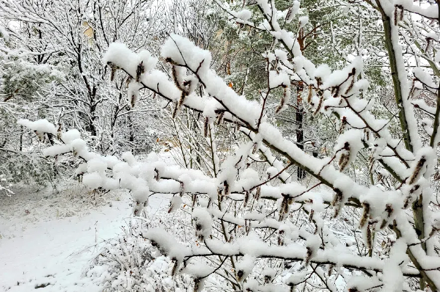
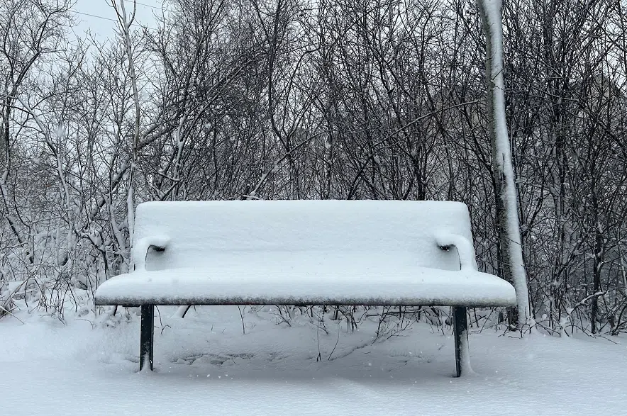
The sticky April snow turned parts of Saskatoon into a winter wonderland on Wednesday. (Taylor MacPherson/650 CKOM)
“Be prepared to adjust your driving with changing road conditions. If visibility is reduced while driving, turn on your lights and maintain a safe following distance.”
Environment Canada’s Eric Dykes said the blast of late-season snow has to do with a slow-moving, low-pressure system which was centred around the Yorkton area on Wednesday morning.
“It’s a snowy and blowy couple of days for a lot of areas of southern Saskatchewan,” Dykes said.
“Areas that are to the north of that low-pressure system and the west side of it are in the cooler air, and thus it’s going to be snow, snow, snow for the next little while here.”
While many were enjoying the mild April weather the province has seen in recent weeks, Dykes said residents may have to get used to the snow for a little while.
“The system will take its time to pull out of the province,” Dykes explained. “It’s not until Friday we’ll start to see things clear in earnest.”
Producers in some areas are desperate for more moisture in the soil and the Water Security Agency is predicting drought-like conditions for many parts of the province. But according to Environment Canada meteorologist Brian Proctor, his week’s snowfall might not bring enough moisture to make a huge difference during the growing season.
“I don’t think it’s going to do anything to really alleviate long-term drought concerns,” Proctor explained on Tuesday.
While the snow may make highway driving tricky in some areas, the Highway Hotline was not showing any closures or recommending against travel on Wednesday morning.
Parts of the province have been hit with a spring snowfall which is making travelling a challenge today. If you have plans to travel, remember to check in with the Highway Hotline: https://t.co/r6yBID4qeL #springstorm pic.twitter.com/apiR89unWu
— Highway Hotline (@SKGovHwyHotline) April 17, 2024
The latest information on road conditions can be found on the hotline’s website, and the latest on the weather warnings can be found on Environment Canada’s website.
–with files from 650 CKOM’s Brent Bosker and 980 CJME’s Roman Hayter


