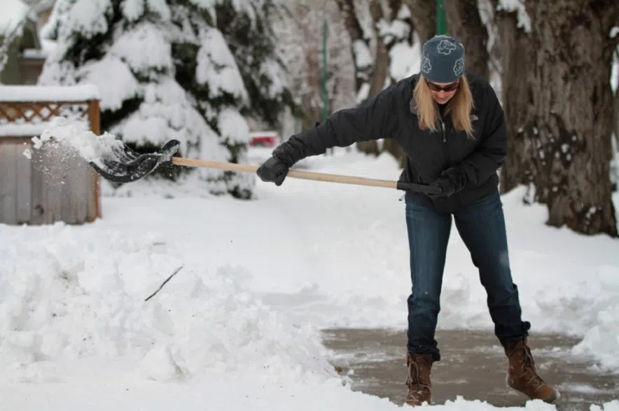
March is coming in like a lion this year, with a winter storm expected to dump as much as a foot of snow on the province this weekend.
Environment Canada issued a winter storm watch across southern and central Saskatchewan early on Friday morning, saying major snowfall is expected between Saturday morning and Monday evening. Between 25 and 35 centimetres of snow are expected to fall during the storm.
Saskatoon and Regina were both covered by the alert, along with Estevan, Lloydminster, Moose Jaw, Swift Current, Weyburn, and all the surrounding areas.
“A low pressure system in Montana will bring heavy snow beginning in the southwest section of Saskatchewan on Saturday morning,” Environment Canada said in a statement.
“Along with heavy snow, gusty winds will create blowing snow and reduced visibility. This area of snow and blowing snow will move northeast and cover the remainder of the southern half of the province by Sunday morning. Snow and blowing snow will continue through Monday. Near blizzard conditions are possible.”
The roads and highways will likely be in rough shape over the weekend, and Environment Canada was clear in its recommendation.
“Avoid travel if possible,” the statement read. “Visibility may be suddenly reduced at times in heavy snow. Travel is expected to be hazardous due to reduced visibility in some locations.”
Kayla Bilous, a meteorologist with Environment Canada, emphasized that road conditions could be treacherous.
“There’ll be lots of snow piling up on the highways, so conditions are not great for travel,” Bilous explained.
Saskatoon will likely get hit a bit harder than Regina, Bilous explained.
“In Regina we’ll get some lighter snow Saturday afternoon, and then the real heavy stuff will begin kind of early Sunday morning,” she said.
“Saskatoon looks like they’re going to be a little bit higher in snowfall.”
Areas further north – including the Battlefords, Prince Albert, Meadow Lake, Melfort, Nipawin, Tisdale – were under a special weather statement on Friday morning.
“Heavy snow and blowing snow are expected to begin Saturday night and continue through Monday,” Environment Canada warned for those regions. “Total amounts of 10 to 20 cm are likely.”
Even further north, snowfall warnings were in effect on Friday morning, with around 10 centimetres of snow expected.
The storm comes just days after an Alberta Clipper blew through Saskatchewan, leaving plenty of snow in its wake.
While this weekend may bring the biggest storm to hit the province so far this winter, that doesn’t mean it’ll mark the end of severe weather for the season, Bilous noted.
“There could be more coming,” she said. “Winter’s not over after this.”
Environment Canada said winter storm warnings and watches could change rapidly as the storm approaches. The latest information on its alerts can be found online.


