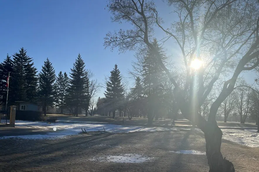
Saskatchewan didn’t manage to dodge winter weather entirely this season.
Rose Carlsen, meteorologist with Environment and Climate Change Canada, said temperatures will likely stay a bit cooler over the next couple of days before taking a turn for the worse with the development of an Albert Clipper mid-week next week.
“Unfortunately, behind that Alberta Clipper, we’re expecting a pretty significant Arctic air mass,” Carlsen said.
The northwesterly winds coming to the region should help with a small amount of clearing the fog that’s been seen in the province in recent days, but it will also bring snow and drier air from the north in time for the latter part of the week.
Carlsen said light flurry snows are to be expected over the next few days before a more significant snowfall comes on Tuesday or Wednesday, courtesy of the Alberta Clipper weather system.
She said it’s still a bit early to predict what amount of snow will fall, but predicted “it will probably be a bit more than just a trace for some areas.”
Carlsen added that the snow is likely to stick around as temperatures should drop fairly significant at that time.
Anticipating those temperatures will feel a bit colder because of Saskatchewan’s milder start to the winter season, Carlsen offered assurance that the temperatures coming are still relatively seasonal in the coming days, though lows towards the end of the week are expected to dip into highs in the -20 C range.
Carlsen noted that cold temperatures will likely stick around for the forseeable future — though she didn’t rule out a return of warmer winter weather — and highlighted the importance of paying attention to and preparing for more frigid temperatures with appropriate winter clothing and gear in vehicles.
“Some people can become complacent with this slower start to winter, so it’s important to make sure you’re prepared for any sort of significant weather conditions,” she said.
– With files from 980 CJME’s Roman Hayter


