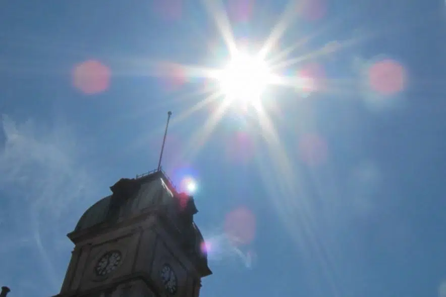
Sizzling temperatures resulted in many temperature records being broken across Saskatchewan on Wednesday.
Terri Lang, a meteorologist with Environment and Climate Change Canada, said La Ronge, Last Mountain Lake, Prince Albert, Waskesiu, Watrous and Wynyard all broke records on Wednesday.
She said the highest temperature was recorded in Watrous. It reached a scorching 32.1 C, breaking the previous record of 31.1 C that was set in 1972.
Prince Albert wasn’t too far behind, reaching 31.0 C, Lang said. The previous record of 30.6 C also was set in 1972.
According to Lang, a big ridge of high pressure that is parked over Manitoba is bringing up warm, humid air from the south.
“Some of that air is sort of making its way into Saskatchewan,” she said. “This ridge of high pressure is expected to stick around for a number of days.”
Lang said she expects the hot temperatures to last into the weekend, but noted the temperatures should be less intense next week.
“I think the difference here that people are feeling is actually the humidity, not so much the 30-degree temperatures,” she added. “The humidex values are quite high, so that’s making things feel a lot hotter than they actually are.”
Lang confirmed the province is heading into a stormy pattern, adding there’s a risk of severe thunderstorms across much of southern and central Saskatchewan over the next few days.
“With the potential for severe weather, we know that there’s always a risk of tornadoes,” she said.
She added that June is typically a humid month in Saskatchewan.
“That’s often when we get the southerly flow of moisture. It’s coming from the Gulf of California. It’s coming from the Gulf of Mexico,” she added. “The crops are starting to grow and they give off a tremendous amount of moisture.”
Lang said as crops mature towards the middle of July into August, the air tends to be less humid.


