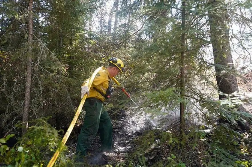
A provincial fire ban has been lifted in Saskatchewan, eight days after the ban was issued.
In a media release Wednesday, the Saskatchewan Public Safety Agency (SPSA) said recent rainfall and cooler weather led to the decision to lift the ban. It had applied to all Crown lands, provincial parks and the Northern Saskatchewan Administration District north of Highway 16.
“Some municipalities and provincial parks continue to experience a high fire risk, as the area north of Churchill did not get widespread heavy rains,” the release said. “Provincial parks in this area will potentially retain local fire or burn restrictions.
“It is up to each municipality to rescind or modify a fire ban that has been issued at a local level. The SPSA continues to encourage all municipalities to examine the fire risk in their local area and reminds the public to practise fire safety.”
Wildfires have scorched portions of northern Saskatchewan, forcing residents from their homes and sending smoke across the province. Special air quality statements due to the smoke remained in place for some areas in the northwest on Wednesday.
As of 11:45 a.m. Wednesday, the SPSA was reporting 24 wildfires in the province, including five that weren’t contained. There have been 184 fires in Saskatchewan this year, well above the five-year average of 109 for this time of year.
In a separate release Wednesday, the SPSA asked travellers, boaters and paddlers to avoid the areas in and around the Smith Fire (north of the Churchill River) and the McCrae Fire (directly east of the Smith Fire). That included highways, rivers and lakes in those areas.
Travel advisories that previously were put in place for the areas around Montreal River near the Meyak Fire and Besnard Lake near the Wistigo Fire remain in effect, the agency said.
The location and status of all wildfires in Saskatchewan can be found on the SPSA website.
Anyone who sees a wildfire is asked to call 1-800-667-9660, 911 or their closest SPSA Protection Area office.
On Wednesday morning, SPSA president and fire commissioner Marlo Pritchard said during an update that there were two highway closures due to the wildfires: Highway 910 from the junction of Highway 165 to Besnard Lake, and Highway 911 from Highway 106 to Deschambault Lake, where signage has been set up.
The Ministry of Highways is staffing both barricades.
Pritchard said the SPSA is supporting 81 evacuees in Regina from Buffalo River and Ile-a-la-Crosse, and 112 evacuees in Lloydminster from Buffalo Narrows. There are also evacuees from Patuanak and the English River First Nation being housed in North Battleford.
Joan Hrycyk, the SPSA’s director of emergency and community support, said 20 evacuees were to return to their community in Ile-a-la-Crosse on Wednesday.
Steve Roberts, the vice president of operations for SPSA, said the recent high humidity, lower temperatures and rain has allowed fire crews to get further into the fires to control them.
“We haven’t seen these fires significantly grow in the last 24 hours because of the change in weather,” Roberts said.
The fires of concern in northern Saskatchewan received very little precipitation.
“We still will see improvements on those fires but not large amounts of change in the short term,” Roberts said.
The Vermette fire located southwest of Dillon currently is more than three times as large in area as the city of Saskatoon. The Shaw fire, which is burning between Buffalo Narrows and Ile-a-la-Crosse, is more than seven times the size of Saskatoon.
As of 4:30 p.m., there were 24 active wildfires in the province, including five that were classified as not contained.
“We want to urge everyone across the province to be diligent in preventing fires and protecting their communities,” Pritchard said.
— With files from 650 CKOM’s Mia Holowaychuk


