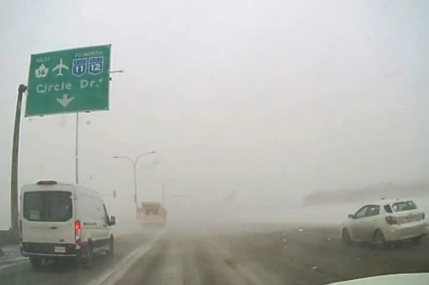
Although the province has switched to spring mode, winter just won’t let go.
Environment Canada said Monday morning a “significant spring storm” remains on track to hit Saskatchewan this week. According to the weather office, a “Colorado low” will bring a mix of rain and heavy snow to portions of southern and central Saskatchewan starting Tuesday night and will linger into Thursday.
“It’s going to be a pretty rotten day for a lot of people on Wednesday,” meteorologist Rose Carlsen said.
“We’re expecting it to be a mixed precipitation event to start with. When it actually does fall as snow, because the temperatures are relatively mild for a snow storm, we’re expecting the snow to be that heavy, wet snow rather than that light, fluffy snow you typically think of with a Colorado low.”
Right now, the southeast corner of the province — including Estevan, Weyburn and Carlyle — is projected to be the hardest-hit areas, with total snowfall amounts likely be in the 10-to-20 centimetre range by Thursday morning. Carlsen said while Regina will feel the storm, it’s not yet clear what the full impact will be on Saskatoon with the city on the edge of the main precipitation.
“There’s a lot of uncertainty associated with this system,” said Carlsen.
“A lot of that is due to where the temperature range is. Because of the temperature profiles being pretty warm for a snow system it is possible it stays entirely rain for Saskatoon and Regina.”
Carlsen warned about poor road conditions as the storm settles in and advised drivers to monitor the conditions on the Highway Hotline.
The weather service added the precipitation could exacerbate the flooding some regions have been experiencing in the past week
“Although not very welcome, it’s not unheard of to get these late season storms in the prairies.”
More information can be found on the Environment Canada’s alert page.
–With files from 650 CKOM/980 CJME’s Brent Bosker and Nicholas Iatropoulos.


