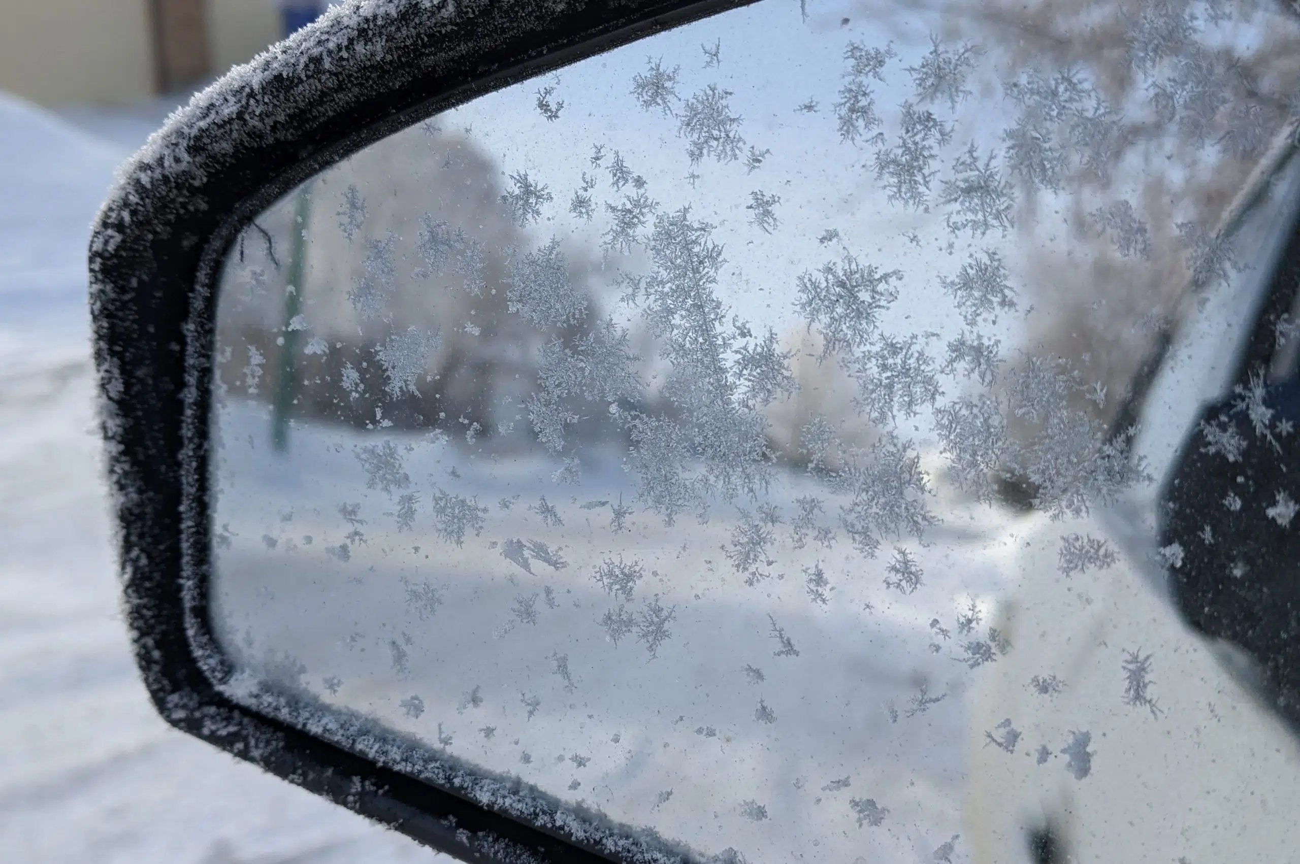
After almost two weeks, the foggy weather in Regina and Saskatoon has finally started to break.
The weather in Saskatchewan’s two major cities was stagnant for the last 13 days because of an inversion, which caused air to get capped. That led to warmer weather, fog and a lack of weather systems entering the province.
With that inversion seemingly now finally broken, Environment Canada senior climatologist David Phillips says we’re going to start to see the weather become more active, but stay a bit milder than usual.
“I look at the next seven days and it looks like temperatures are still going to be warmer than normal. The average temperature in Saskatoon and Regina this time of year is highs of about -10 Celsius and lows of -20 Celsius,” he explained.
“What we’re seeing is temperatures next week of four to 10 to seven (to) eight degrees warmer than normal, even at night! I see the sun appearing most days and it’ll kind of be a pleasant kind of situation.”
While that’s the good news people want to hear, Phillips says it’ll be short-lived as Environment Canada’s models suggest a polar vortex could be tracking towards the province.
“It looks like it’s about to stir up. Normally it’s stationary and sits there, but it’s like someone has poked the bear,” he explained. “It is just going to begin to move, take the cold air with it and it looks like it’s going to come right down across North America.”
Phillips noted while the vortex is brewing, the weather service doesn’t know where it will eventually settle. He said there are two directions the storm could take.
“Is it going to set up more towards the west? That will influence you people (in Saskatchewan) more. If it’s going to be through Hudson Bay, then a little less so,” he said.
Phillips didn’t have a prediction for just how cold it could get. He thinks it will last seven to 10 days and arrive here by the end of the month and last into the first week of February.
“My sense is it’ll be painful (and) frigid, but it might be short-lived,” Phillips said.


