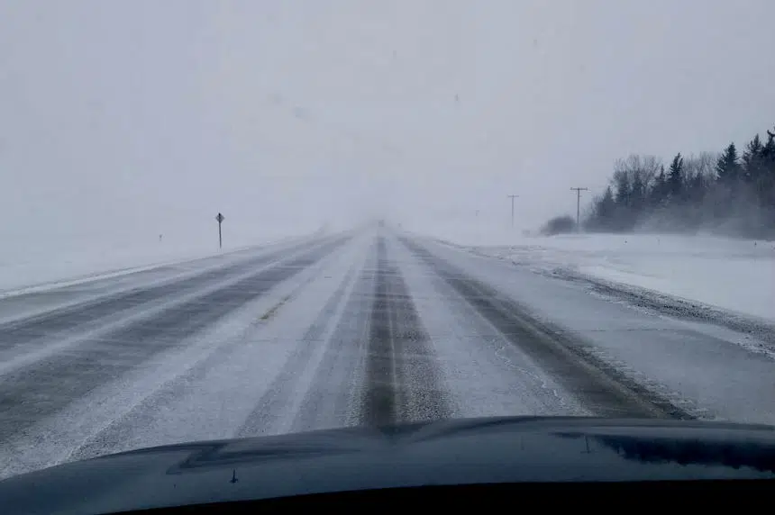
Southern Saskatchewan got its first taste of winter before Halloween, and now the rest of the province is set to get a turn.
A winter storm brewing in Alberta is on track to hit west-central and northern Saskatchewan this week, according to Environment Canada meteorologist Dan Fulton.
“(It will hit) a band from southern Alberta right through the Battlefords, Meadow Lake and the northern parts of Saskatchewan,” Fulton said Tuesday.
“I wouldn’t be surprised if this is it (and) if it’s going to stay white. I wouldn’t say you’re quite doomed yet in the Saskatoon area, but definitely as you go to the north and northwest.”
Fulton says the worst-hit areas will see anywhere from 10 to 30 centimetres of snow by Thursday morning once the system moves into Manitoba.
The system will hit in two waves, according to Fulton. The first round of precipitation on Tuesday will be mainly rain and will change to snow overnight and continue through Wednesday.
“For the Saskatoon area, it’s looking like snow, but not that much, maybe a few centimetres,” said Fulton.
“Keep your fingers crossed because as soon as you get further west and north, you do start getting into some significant amounts.”
Fulton said because Saskatoon is sitting on the very edge of the system, any shift in the storm’s path could affect how much snow the city ends up receiving.
Not everyone in the province will need their boots and shovels.
The weather agency says there is a chance of freezing rain in the southwest corner, while Moose Jaw and Regina area likely will be spared from the storm altogether.
Snowfall warnings are in effect in northern and southern Alberta. More alerts are likely to be issued as the precipitation begins to push east.


