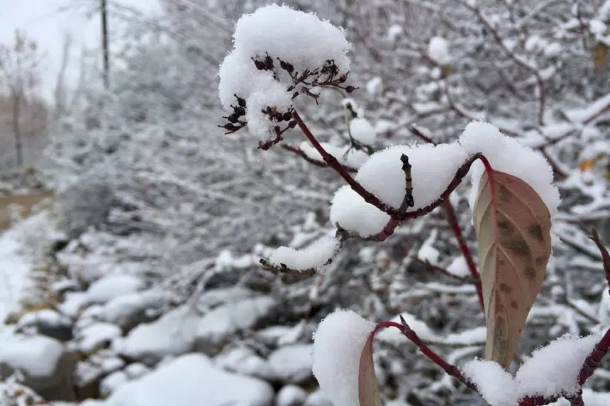
Mother Nature may have spoiled Regina with mild November weather, but it’s finally time to pull out the winter gear – snow is on its way.
“If you guys get the five to ten (centimetres) that’s forecast, there’s not really much to come melt it in the long range,” Environment Canada’s Justin Hobson said. “Your highs are going to below zero once this system gets out of the way.”
Jason Knight with the Environment Canada weather office said snow will move into the Regina area by Monday morning.
“By the time it’s all said and done, we’re looking at about 10 centimetres of snow so far,” he said.
Knight said the snow will continue until at least Tuesday and temperatures may hover around the freezing mark.
According to an alert from Environment Canada which was issued Sunday afternoon, the southeastern part of the province may get up to 20 centimetres of snow over the next couple of days from the same system.
“The heaviest snow will be over the extreme southeast areas of Saskatchewan and then lesser amounts as you move west and north away,” Hobson explained.
The special weather statement said the snow will start on Monday morning in the extreme southeast part of the province, then progress northwest. The snow is expected to gradually taper off on Wednesday.
“The real change could be late in the week, like Thursday or Friday,” Hobson said.
Environment Canada said roads and walkways are likely to get slippery as the temperatures are expected to stay just below freezing.
As the system continues, Environment Canada may issue warnings.


